Learn about landslides and Juneau’s need for new hazard maps Friday night
Emergency Programs Manager Tom Mattice will join Joel Curtis and Aaron Jacobs with the National Weather Service and Di Johnson with the Pacific Northwest Research Station to talk about landslides in Southeast Alaska at this Friday’s Mendenhall Glacier Visitor Center’s Fireside Lecture, Feb. 23 at 6:30 p.m. and again at 8 p.m. The presenters will share details on public safety and avoiding hazards in Southeast communities from saturated soils and sliding earth.
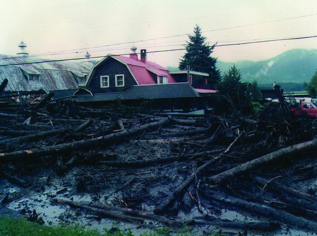
Mattice will also focus in on Juneau’s vulnerability to avalanches and landslides. In the last century, more than 72 Juneau buildings have been damaged or destroyed by avalanches. According to the Swiss Institute for Snow and Avalanche Research, Juneau has the greatest potential for a catastrophic urban avalanche in the world. In addition, Juneau has 4-5 times more landslide zones than avalanche zones. Yet, CBJ’s hazard maps, which were adopted in 1987, are based on maps created in the 1970s. The low-resolution maps are insufficient for determining risk levels and mitigation options. Updates to CBJ’s hazard maps are necessary to develop appropriate zoning, building regulations and engineering interventions, and ensure public safety. CBJ has recently applied to the Federal Emergency Management Agency for funding to update the maps.
Learn about the issue during Friday’s Fireside Lecture, 6:30 p.m. and again at 8 p.m. at the Mendenhall Glacier Visitor Center. It’s a free event and doors open at 6 p.m.
For more information, contact Emergency Programs Manager Tom Mattice at 586-0419 or [email protected].